Latest posts from Martin Davis
SVG Images from Postgres
We are excited to announce a new set of functions to generate svgs from Postgres and PostGIS! This gives you really easy maps, images, or charts directly from your database. Once you start reading through these samples, you'll want to start playing with images from your database.
9 min readTemporal Filtering in pg_featureserv with CQL
Dive into some examples of temporal filtering in pg_featureserv.
6 min readSpatial Filters in pg_featureserv with CQL
In this post we'll show some examples of spatial filtering using CQL with pg_featureserv.
5 min readCQL Filtering in pg_featureserv
Recently Crunchy Data added pg_featureserv support for most of CQL2. Here we'll describe the powerful new capability it provides.
4 min readUsing PostGIS and pg_featureserv with QGIS
Crunchy Data has developed a suite of spatial web services that work natively with PostGIS to expose your data to the web, using industry-standard protocols.
5 min readA Deep Dive into PostGIS Nearest Neighbor Search
Take a deep dive into the Postgres and PostGIS internals to find out how K-nearest neighbor accelerates local search.
12 min readQuerying Spatial Features with pg_featureserv
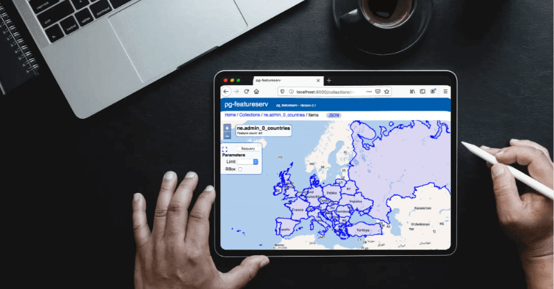
Learn about pg_featureserv features, a service for publishing PostGIS data on the web. A perfect fit in the microservice architecture of Crunchy Spatial.
4 min read


