Latest posts from Paul Ramsey
Waiting for PostGIS 3.1: Grid Generators
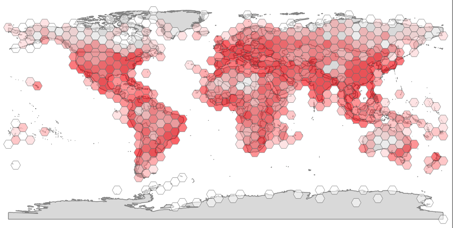
Summarizing data against a fixed grid is a common way of preparing data for analysis. Fixed grids have some advantages over natural and administrative boundaries.
2 min readWaiting for PostGIS 3.1: Performance
Open source developers sometimes have a hard time figuring out what feature to focus on to generate the greatest value for end users. As a result, they will often default to performance. Performance is the one feature that every user approves of. The software will keep on doing all the same cool stuff, only faster.
3 min readPostGIS and the Geography Type
The PostGIS geography type is a geospatial type that understands coordinates as spherical coordinates, in latitude and longitude.
4 min readSpatial Constraints with PostGIS in PostgreSQL- Part 3
Constraints trigger basic relationships and a look at more complex use cases like deferred constraints, and full table-level data structures.
6 min readSpatial Constraints with PostGIS in PostgreSQL- Part 2
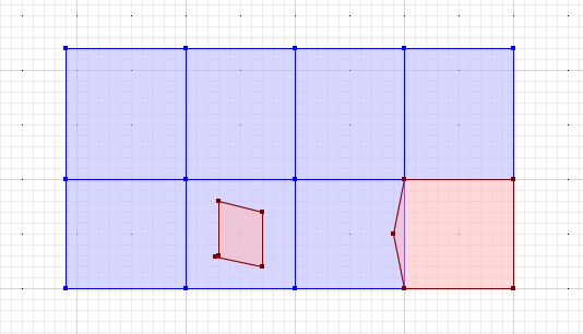
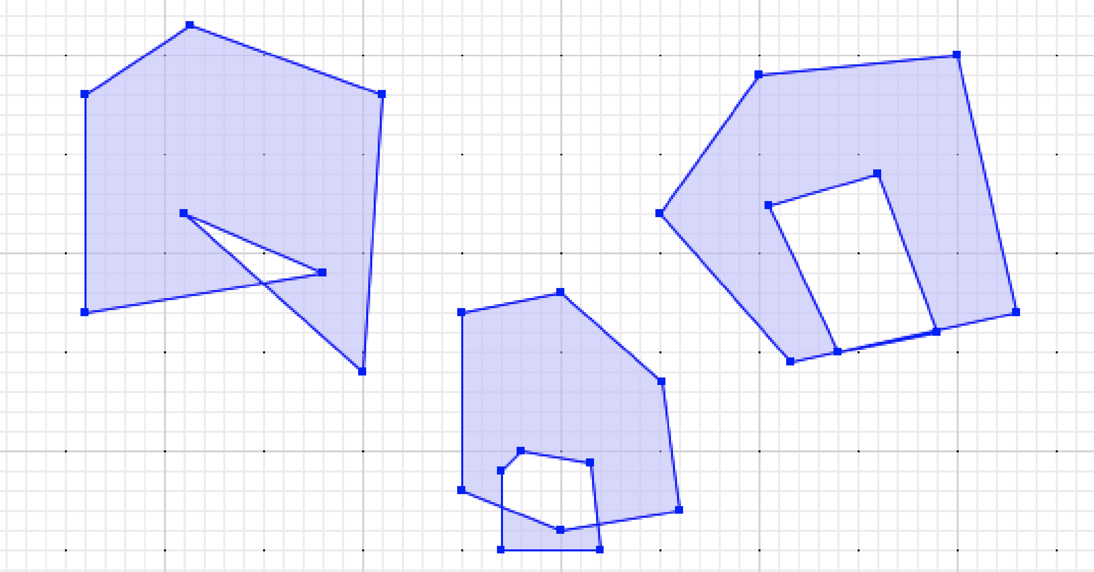
How to guard spatial data quality using constraint triggers and spatial relationships.
5 min readRouting with PostgreSQL and Crunchy Spatial
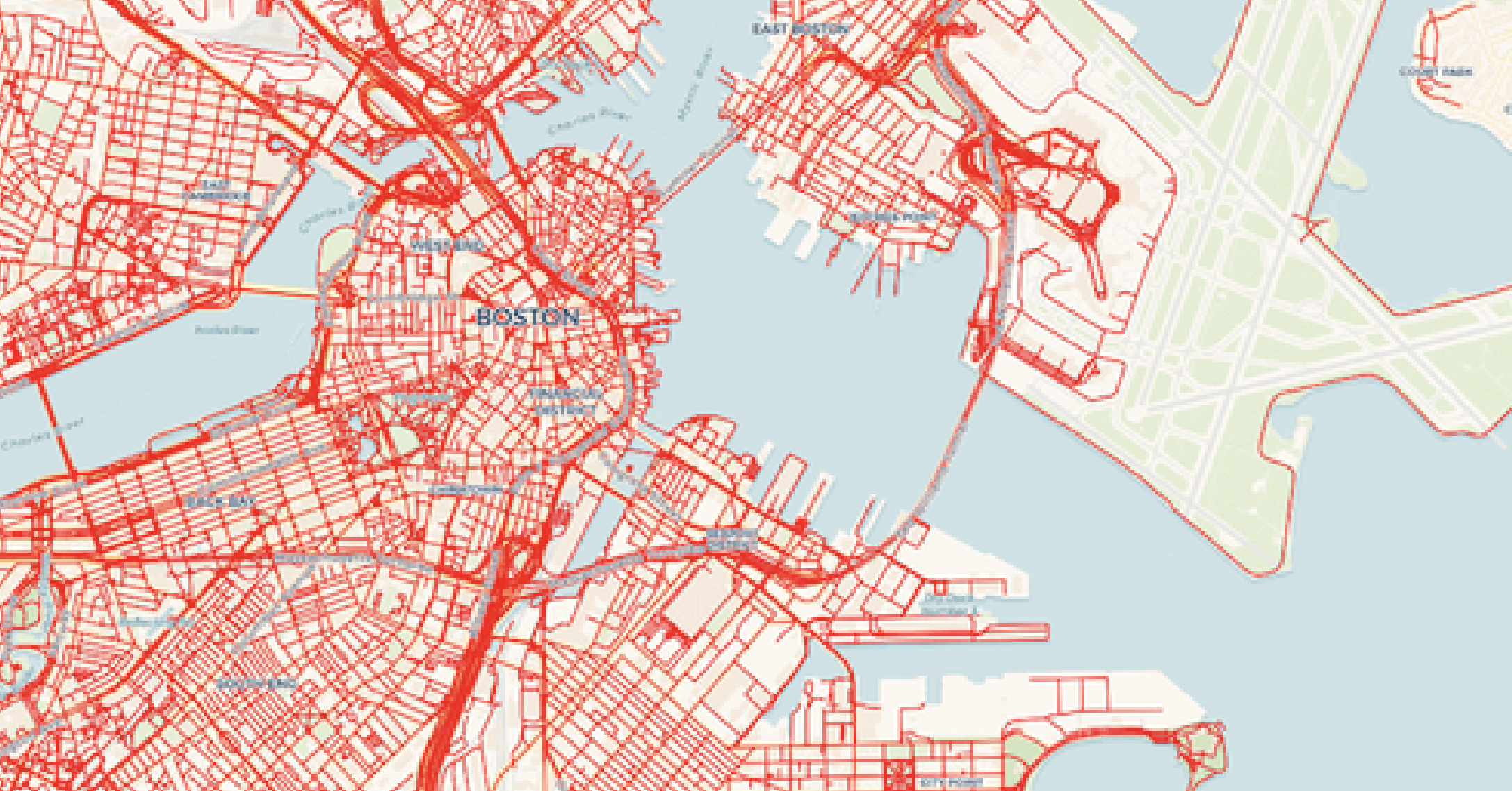
Here's a simple and practical example of backing a web map with PgRouting.
6 min readSpatial Constraints with PostGIS in PostgreSQL- Part 1
Constraints are used to ensure that data in the database reflects the assumptions of the data model. Paul Ramsey demonstrates simple and complex constraints that spatial database users like to enforce on the geometry data.
3 min readPolygon Averaging in PostGIS
You can turn raw spatial data into useful spatial information using analytics in PostGIS.
3 min readTile Serving with Dynamic Geometry
With PostGIS and pg_tileserv, you can generate arbitrary geometry on the fly! Send it back to the web client, or use it server-side to drive analytics and visualizations.
4 min readSpatial Tile Serving with PostgreSQL Functions
Use PostgreSQL functions and PostGIS to generate dynamic tiles on-the-fly with pg_tileserv and Crunchy Spatial.
6 min readCrunchy Spatial: It's PostGIS, for the Web
The Crunchy Data geospatial team is excited to introduce Crunchy Spatial.
2 min readWaiting for PostGIS 3: ST_Transform() and Proj6
PostGIS makes use of the Proj library for coordinate reference system conversions, and PostGIS 3 will support the latest Proj release, version 6.
3 min readWaiting for PostGIS 3: GEOS 3.8
While PostGIS includes lots of algorithms and functionality we have built ourselves, it also adds geospatial smarts to PostgreSQL by linking in specialized libraries to handle particular problems.
3 min readWaiting for PostGIS 3: Parallelism in PostGIS
Improvements in PostgreSQL 12 allow PostGIS 3 to use built-in query parallelism to execute accelerated geospatial queries.
3 min readWaiting for PostGIS 3: ST_TileEnvelope(z,x,y)
The MVT tile format in PostGIS lets you generate tiles from PostgreSQL. The ST_TileEnvelope() function converts directly from tile to mercator coordinates.
2 min readWaiting for PostGIS 3: Separate Raster Extension
The raster functionality in PostGIS has been part of the main extension since it was introduced. When PostGIS 3 is released, if you want raster functionality you will need to install both the core postgis extension, and also the postgis_raster extension.
3 min readWaiting for PostGIS 3: ST_AsMVT Performance
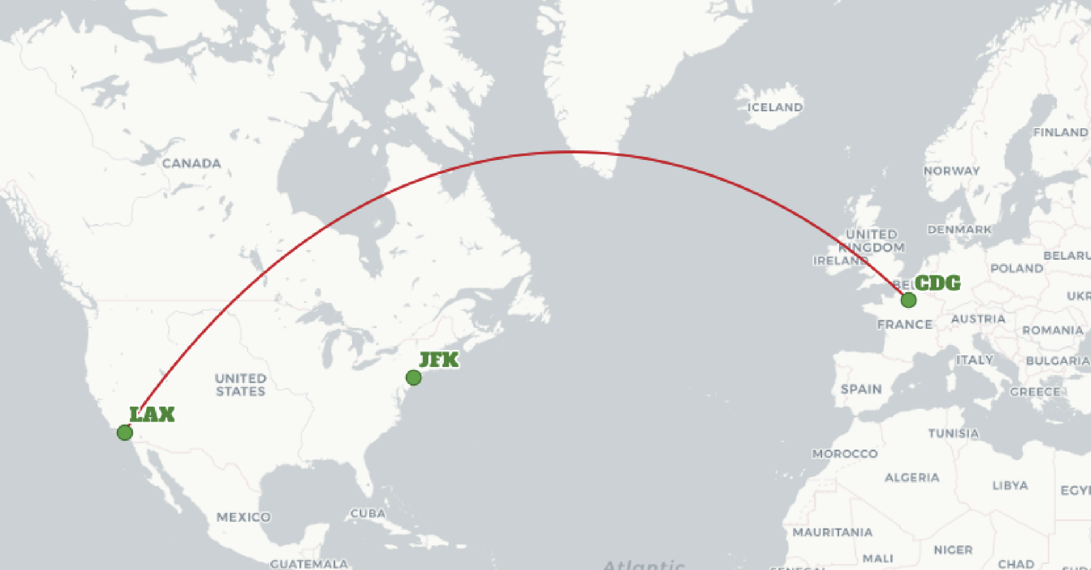
Learn how PostGIS 3 improves performance of the ST_AsMVT function that generates map tiles used in web clients and mobile devices.
2 min readWaiting for PostGIS 3: Hilbert Geometry Sorting
PostGIS 3.0 introduces Hilbert Geometry sorting! Learn how this type of sorting works and how to use it in the upcoming PostGIS 3.0 release.
2 min readWaiting for PostGIS 3: ST_AsGeoJSON(record)
PostGIS adds support for generating GeoJSON objects directly from database records with ST_AsGeoJSON.
2 min read

.png)
.png)



-2.jpg)

