Posts about Spatial
Tricks for Faster Spatial Indexes
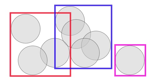
Learn about how structuring an index based on the inputs it receives and the order of inputs can have a strong effect on the quality of the final index. This post includes a lot of example code and geometry.
3 min readPostGIS Day 2021
Highlights from the 3rd annual PostGIS Day, hosted virtually November 18th, 2021.
Querying Spatial Data with PostGIS and ogr_fdw
The cool thing about foreign data wrappers is that they're an alternative to needing to have everything in the same data store. With spatial data being stored and shared in so many different formats, imagine being able to abstract that conversion away and just focus on analysis. Read on for a couple of quick demos.
7 min readWaiting for PostGIS 3.2: Secure Cloud Raster Access
Raster data access from the spatial database is an important feature, and the coming release of PostGIS will make remote access more practical, by allowing access to private cloud storage.
6 min readWaiting for PostGIS 3.2: ST_Contour and ST_SetZ
One theme of the 3.2 release is new analytical functionality in the raster module, and access to cloud-based rasters via the "out-db" option for rasters. Let's explore two new functions and exercise cloud raster support at the same time.
6 min readUsing PostGIS and pg_featureserv with QGIS
Crunchy Data has developed a suite of spatial web services that work natively with PostGIS to expose your data to the web, using industry-standard protocols.
5 min readWaiting for PostGIS 3.2: ST_MakeValid
One of the less visible improvements coming in PostGIS 3.2 (via the GEOS 3.10 release) is a new algorithm for repairing invalid polygons and multipolygons.
4 min readWaiting for PostGIS 3.2: ST_InterpolateRaster
A common situation in the spatial data world is having discrete measurements of a continuous variable. Every place in the world has a temperature, but there are only a finite number of thermometers - how should we reason about places without thermometers and how should we model temperature?
4 min read(The Many) Spatial Indexes of PostGIS
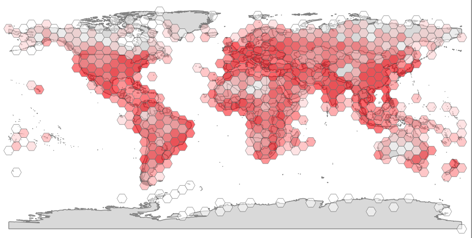
The simple story of spatial indexes is - if you are planning to do spatial queries (which, if you are storing spatial objects, you probably are) you should create a spatial index for your table.
6 min readPerformance Improvements in GEOS
We at Crunchy Data put as much development effort into improving GEOS as we do improving PostGIS proper, because the GEOS library is so central to much geospatial processing.
6 min readArcGIS Feature Service to PostGIS: The QGIS Way
As a GIS newbie, I've been trying to use local open data for my own learning projects. I've recently relocated to Tampa, Florida, and was browsing through the City of Tampa open data portal and saw that they have a Public Art map. That sounded like a cool dataset to work with but I couldn't find the data source anywhere in the portal. I reached out to the nice folks on the city's GIS team and they gave me an ArcGIS-hosted URL.
8 min readLoading Data into PostGIS: An Overview
There are a lot of ways to load data into a PostgreSQL/PostGIS database and it's no different with spatial data. If you're new to PostGIS, you've come to the right place. In this blog post, I'll outline a few free, open source tools you can use for your spatial data import needs.
8 min readPostGIS Raster and Crunchy Bridge
The PostGIS raster has a steep learning curve, but it opens up some unique possibilities for data analysis and accessing non-standard data from within PostgreSQL. Here's an example that shows how to access raster data from PostGIS running on Crunchy Bridge.
11 min readWaiting for PostGIS 3.1: GEOS 3.9
While we talk about "PostGIS" like it's one thing, it's actually the collection of a number of specialized geospatial libraries, along with a bunch of code of its own.
4 min readPostGIS Day 2020 Roundup
Crunchy Data's second annual PostGIS Day took place a couple weeks ago on November 19th, and as a first-time attendee I was blown away by the knowledge-sharing and sense of community that I saw, even as I was tuning in remotely from my computer at home.
7 min readWaiting for PostGIS 3.1: Grid Generators
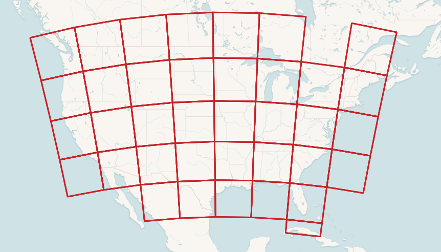
Summarizing data against a fixed grid is a common way of preparing data for analysis. Fixed grids have some advantages over natural and administrative boundaries.
2 min readWaiting for PostGIS 3.1: Performance
Open source developers sometimes have a hard time figuring out what feature to focus on to generate the greatest value for end users. As a result, they will often default to performance. Performance is the one feature that every user approves of. The software will keep on doing all the same cool stuff, only faster.
3 min readVirtual PostGIS Day 2020 is Nov. 19
We're putting together an awesome PostGIS Day virtual conference on Thursday, Nov 19th. Last year we hosted our first PostGIS Day in-person in St. Louis and although we can't gather in the same way this year, going virtual allows us to give even more talks!
4 min readUsing Postgres and pgRouting To Explore The Smooth Waves of Yacht Rock
PG Routing is a powerful routing tool, usually used for pathfinding/mapping/direction applications. Today we’re going to use Postgres via Crunchy Bridge to find the most influential Yacht Rock artist, and find out why it’s Michael McDonald.
14 min readPostGIS and the Geography Type
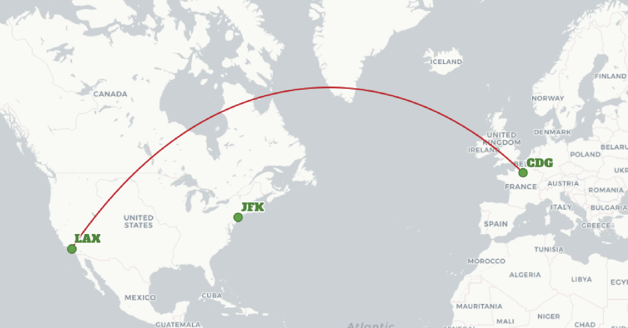
The PostGIS geography type is a geospatial type that understands coordinates as spherical coordinates, in latitude and longitude.
4 min read



.png)
-1.png)


-2.png)
.png)
.png)

-1.jpg)
-3.png)
-1.png)

